|
Liberty The Trail of Death goes west on highway 104. The highway turns north to enter Liberty and becomes Main Street. Go about 3 blocks and turn east (right) on Hannibal Street - there is a sign on a wishing well on the corner pointing to the Potawatomi Historical Marker. The Trail of Death marker is in the Liberty town park. Saturday 6th Oct. [Traveled 18 miles from Perry to Liberty, Illinois.] At a little before 8 in the morning we left the encampment of last night. During the night we were visited by a fall of rain which rendered the traveling today unusually pleasant. The dust has been completely allayed, and the air much cooled. Water on the route was only to be found in stagnant ponds. At 3 o’clock we reached our present encampment, which from the barrenness of the spot in everything save grass, brush and weeds, we have appropriately name Hobson’s Choice. Beef and potatoes were issued to the Indians this evening. Forage corn and hay. A child died since we came into camp. Hobson’s choice is said to have had its origin in the name of one Thomas Hobson (1544-1631), at Cambridge, England, who kept a livery stable and required every customer to take either the horse nearest the stable door or none at all. It means take this or none. 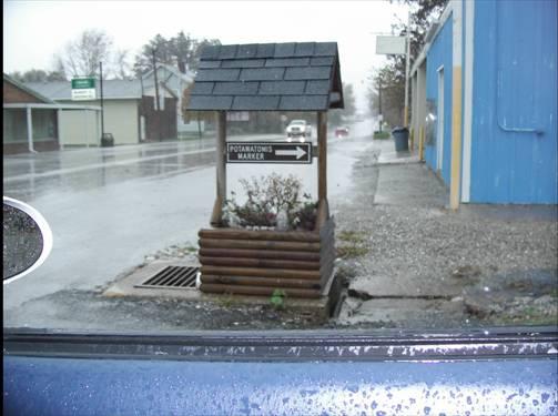 Liberty, Illinois - sign in town with arrow pointing to Potawatomi marker inn the town park. This is on the corner of Main and Hannibal streets. (Photo by Bill Willard, 2004.) 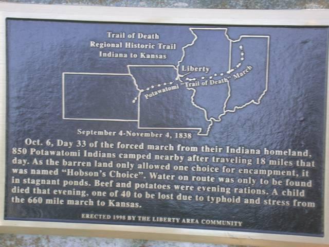
Liberty, Illinois - town park. GPS N- 3952771 W-9106409. This camp site was called Hobson’s Choice in the 1838 Trail of Death diary. Hobson’s Choice means “Take this or none.” (Photo by Larry Prichard, Lynn, Indiana, on Trail of Death Commemorative Caravan, 2003.) 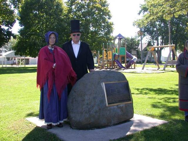
Liberty, Illinois - town park. GPS N- 3952771 W-9106409. Located in town park. Erected in 1998 by Liberty residents and Liberty Historical Society, president Marvin Koch. Pictured above: Carol Layman, and Larry Prichard, members of the caravan. (Photo from Larry Prichard, Lynn, Indiana, on Trail of Death Commemorative Caravan, 2003.) 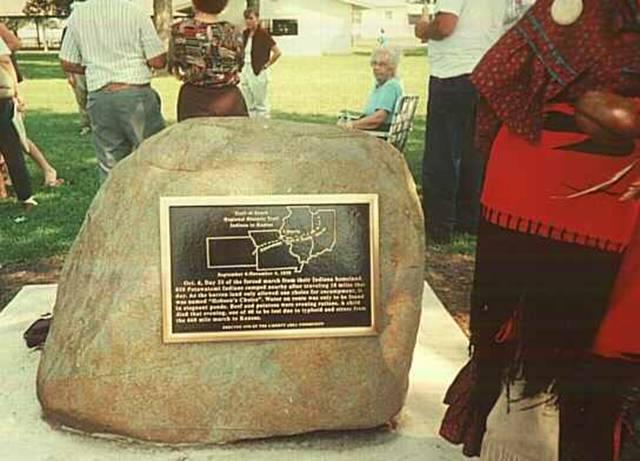
Liberty, Illinois - town park. GPS N-3952771 W-9106409. Dedicated in 1998 by Trail of Death Commemorative Caravan. (Photo by Bill Willard, 1998) Go back to the wishing well on Main Street and turn north (right) on 104 to leave Liberty. This angles to the west and becomes 1200 on map but stays 104 on highway signs as it is a dual lane highway. Go 11 miles to the next campsite at Mill Creek, which is on the west side of the highway before you get to Quincy. |
| < Previous | Home | Next > |